


Title Page
-
Conducted on
-
Prepared by
-
Location
-
Site Name
-
WHAT/THREE/WORDS Location (Visit: https://what3words.com)
Summary of Drone Activity
-
Date of Assessment
-
Activity Risk being assessed
-
Operational Zone Number
-
Senior RP Name
-
2nd RP Name
-
Observers Names
-
Names of Additional involved Crew on-site
Survey Checklist
On Site Hazards.
-
Is a SITE INDUCTION Required for new crew?
-
Confirm Complete
Check the following obstructions risks?
-
Trees
-
Summary - Add to Risk Matrix following
-
What have you done to mitigate this risk?
- Complete Risk Matrix
- No Risk to Flight
- Further investigation required.
-
Rivers/Canals
-
Summary - Add to Risk Matrix following
-
What have you done to mitigate this risk?
- Complete Risk Matrix
- No Risk to Flight
- Further investigation required.
-
Masts
-
Summary - Add to Risk Matrix following
-
What have you done to mitigate this risk?
- Complete Risk Matrix
- No Risk to Flight
- Further investigation required.
-
Wires
-
Summary - Add to Risk Matrix following
-
What have you done to mitigate this risk?
- Complete Risk Matrix
- No Risk to Flight
- Further investigation required.
-
Buildings
-
Summary - Add to Risk Matrix following
-
What have you done to mitigate this risk?
- Complete Risk Matrix
- No Risk to Flight
- Further investigation required.
-
Industrial/Construction
-
Summary - Add to Risk Matrix following
-
What have you done to mitigate this risk?
- Complete Risk Matrix
- No Risk to Flight
- Further investigation required.
-
Are there any Livestock?
-
What have you done to mitigate this?
- Complete Risk Matrix
- No Risk to Flight
- Further investigation required.
-
Photo
Check other limitations/risks
-
Are there any View Limitations
-
Details
-
Image
-
People - Is crowd control required?
-
Details
-
Name of Controller/Spotter
-
Can Member of the Public access the site?
-
Can they be controlled?
- Yes with Corden
- No - Spotter Assistance Required
-
Is a spotter available?
-
Has Signage/Audio Controls been placed?
- Cones
- Display Signs
- Pre-recorded Announcer
- None
-
Inadequate controls, DO NOT FLY until controls are in place.
-
Type of Terrain.
- Flat
- Sloped
- Rough
- Wet
- Icy
- Snow
- Construction Site
-
Image
-
Image
-
Image
-
Image
-
Image
-
Image
-
Image
Flight Safety
-
Is clearance required from Air Traffic Control?
-
Provide Details in the Notification Question.
-
Airfield Proximity - Can Adequate Separation be maintained?
-
Google Earth screenshot with measurements.
-
Provide Details
-
Has a Safe takeoff Area(s) been identified?
-
Google Earth screenshot with measurements.
-
Provide Details
-
Has a Safe Land Area(s) been identified?
-
Google Earth screenshot with measurements.
-
Provide Details
-
Has an Emergency Area been indentified
-
Review Site and identify a location.
-
Google Earth screenshot with measurements.
-
Has a holding Area been identified?
-
Google Earth screenshot with measurements.
-
Identify a location
Weather
-
Weather Report Reviewed?
-
!!!DO NOT FLY!!! Review Weather.
-
Go back to Weather Report and Add Data.
-
Is it safe to fly in weather conditions on the date of flight?
-
Insert Weather Report (MetCheck)
Temp °C
-
Wind Speed m/s
-
Wind Gust m/s
-
Cloud Cover %
-
Precipitation %
-
GPS Locks
Safe Distances
-
Can a safe TOL point be achieved?
- Yes 5m
- Yes 10m
- Yes 20m
- Yes 30m
- Other
- Further Investigation Required
-
!!!DO NOT FLY!!!
-
Confirm you have permission from the CAA to reduce the distance below standard permissions.
-
DO NOT FLY! Seek TOL within permissions.
-
What is your Reduced Distance on OSC.
- 5m
- 10m
- 15m
- 20m
- 25m
- 30m,
- 40m
- 45m
- 50 or Over
-
Insert photo of location (Google Earth)
-
Whom have permissions been gained from within the TOL zone?
- Persons
- Vehicles/Vessels/Buildings
- Aircraft
- Cattle/Animals
-
Are there any objections?
-
Have you validated the objections, are they...
-
Explain Why and justify in your detailed RIsk Matrix
-
!!!DO NOT FLY!!!
-
Continue to next question
-
Can an adequate separation bubble be achieved?
-
What is not under your control?
- Persons
- Vehicles/Vessels/Buildings
- Aircraft
- Cattle/Animals
-
Can the they be brought under your control?
- Yes with Corden
- No - Spotter Assistance Required
-
Describe Circumstances
-
Describe Circumstances
-
Add Spotter Name
-
Separation Distance (meters)
-
Have you obtained permission from the CAA for reduced Distances?
-
Separation Obtained (meters)
- 5m
- 10m
- 15m
- 20m
- 25m
- 30m,
- 40m
- 45m
- 50 or Over
-
Review Separation Distances
Notifying Local Services
-
Is permission required for TOL
-
From whom?
- ATC
- LANDOWNER
- POLICE
- OTHER
-
Reference for permission
-
Date Granted
-
Contact Name
-
Permission Approved
-
Is the rejection...
-
Explain your reasons - !!!DO NOT FLY!!! until you have gained further permissions
-
!!!DO NOT FLY!!!
-
Reference Number/Code
-
Authority Controlling Airspace
-
Is the Flight outside an FRZ?
-
High Risk - Follow Permission ATC Guidelines
-
Landowners Details
-
Authority and Ref Number
-
If other provide details
-
Explain why not required
NOTAMS
-
Have you reviewed NOTAMs for your flight Location Visit: https://ukga.com/gis/notam
-
Do NOTAMs indicate FLY/NO FLY
-
Continue to Team Briefing
-
DO NOT FLY until safe to do so. Check the times on the NOTAM and reschedule if required.
-
Visit: https://ukga.com/gis/notam
-
Generate and Continue
Team Briefing
-
Has a briefing been conducted?
-
Reason
-
Summary of Briefing.
-
Confirm the following key points to your spotters/camera operators
-
The remote pilot must not fly the small unmanned aircraft: a) within the flight restriction zone of a protected aerodrome unless in receipt of the appropriate permission as required within article 94A or the Order; b) at a height of more than 400 feet above the surface; c) over or within 150 metres of an organised open-air assembly of more than 1,000 persons; d) Within 50 metres of any person, vessel, vehicle or structure that is not under the control of the SUA operator or the remote pilot, except that during take-off and landing this distance may be reduced to 30 metres.
-
If you are operating under an OSC please State Reduced Distances Here.
-
When operated at a distance of greater than 250m lateral displacement from the PIC, the maximum height reduces to the standard 400’ AGL as per standard PfCO permissions.
-
Continue to next question
-
You must stay directly adjacent to the remote pilot and maintain direct unaided visual contact with the small unmanned aircraft at all times, to visually and aurally monitor the airspace for other aircraft and the area that the small unmanned aircraft will be operating in for any uninvolved persons, vehicles, vessels or structures.
-
the competent observer has been instructed on the actions to take in the event of another aircraft being spotted and a risk of collision is assessed;
-
has been instructed on the actions to take in the event of any uninvolved person, vehicle, vessel or structure being sighted within, or close to, the minimum distances specified
-
the competent observer understands that he/she must advise the remote pilot if the small unmanned aircraft is proceeding beyond the point at which he/she is able to monitor its flight path sufficiently to identify a risk of collision
-
Validate teams understanding of the roles?
-
Describe reasons and rebrief
-
Validate understanding again.
-
Have Radios been issues?
- Radio 1
- Radio 2
- Radio 3
- Radio 4
- Non Issued
-
Provide Reason
-
Test all radios are receiving
-
Test and Confirm Channel
Emergency Contact Details
-
LOCAL ATC
-
Visit: https://www.nats.aero/services/where-we-operate/
-
LOCAL POLICE
-
Visit: https://www.police.uk/search/
-
LOCAL HOSPITAL
-
Visit https://www.nhs.uk/service-search/other-services/Accident-and-emergency-services/LocationSearch/428
-
REMOTE PILOT
-
07807941575
-
OBSERVER
-
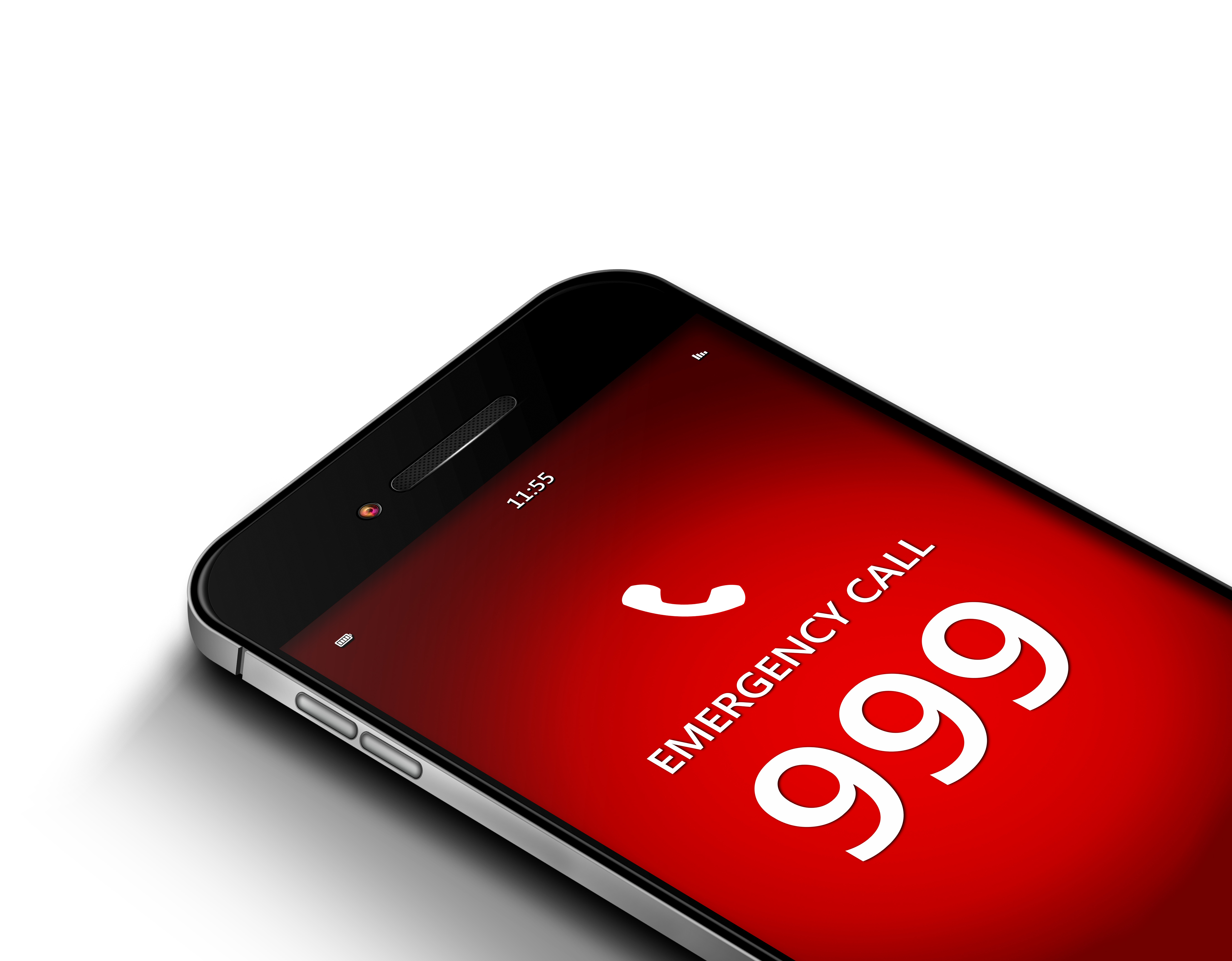
IF IS DOUBT CALL EMERGENCY SERVICES - 999
Hazard Details and Mitigation
-
Have all hazards been identified?
Add Risk Matrix
-
Complete Risk Matrix
-
Details of Hazard
-
Who is at Risk
- Persons
- Vehicles/Vessels/Buildings
- Aircraft
- Cattle/Animals
-
Risk Severity
-
Risk Likelihood
-
Control Measures
-
Risk Severity after mitigation
-
Risk Likelihood after mitigation
-
DO NOT FLY!
-
Great so far!
-
Do Not Fly until Risks are established and mitigated.
Add another Risk Martix
-
Details of Hazard
-
Who is at Risk
- Persons
- Vehicles/Vessels/Buildings
- Aircraft
- Cattle/Animals
-
Risk Severity
-
Risk Likelihood
-
Control Measures
-
Risk Severity after mitigation
-
Risk Likelihood after mitigation
-
DO NOT FLY!
-
Great so far!

Insurance
-
Has relevant insurance been obtained for this flight?
-
Does the Liability Value Meet or Exceed Clients request?
-
Value of liability.
-
Start Date and Time
-
End Date and Time
-
Seek alternative Insurance
-
Does the Liability Value Meet or Exceed Clients request?
-
Value of liability.
-
Start Date and Time
-
End Date and Time
-
Seek alternative Insurance
Sign Off Declaration
-
As the RP in Charge I confirm I have completed this Risk Assessment and confirm a....
-
Refer to Operations Manager
-
Continue to Sign Off
Signature
-
RP
-
Senior Operations Manager Sign Off
-
Provide Reason for NO FLY.
-
Senior Manager Sign Off
-
Comments
Additional RP or Observer Signature
-
Observer or RP indicate before name RP or OB


